This week I had an opportunity to get back to geotagging photos in a very big way - it wasn't a bicycle trip but a field trip with work. It was spur of the moment but I grabbed a Garmin eTrex Vista (HCx) and a Panasonic Lumix DMZ-LZ8k and knew I was going to be geotagging. Purchased the work equipment a number of years ago due to its functionality - it performed flawlessly. A built in GPS cameras does not seem practical to me but, at the same time, geotagging is NOT easy. I didn't have time to catchup on the process but grabbed the equipment and a handful of batteries as I left the office.
Did not synchronize the GPS and camera clock but I did take a picture of the GPS as I got out of the car. This way I could synchronize the GPS log file with the picture time later. Turned out that I took about 160 pictures and about 90 waypoints without any problems except that the camera ate batteries. Finally adjust the screen settings so they would last longer.
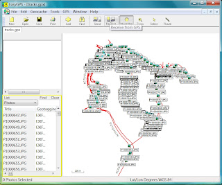
Couldn't wait to get back to the hotel and play with the data. Nothing appeals to me more than maps and pictures but my time away from the equipment showed. The very first issue was not accessing the waypoints - I could connect to the GPS using USB but the GPX file only contained the log files. I wanted ALL the waypoints too. Oh yeah - they had to be in the internal memory, so I downloaded EasyGPS (http://www.easygps.com). If you have a Garmin this software is a must. It connects directly and is able to read all the data flawlessly. It even geotags photos but the camera has to be time synchronized prior to using. That's where I messed up - not taking the time to check the time. There was even a daylight savings time issue with the camera.
Had used GeoSetter (http://www.geosetter.de/en/) way back with my original research so I downloaded it right away. As before it was very comprehensive but not as intuitive as I remembered. I was able to get some pictures and maps but there were so many options and settings that I wasn't comfortable with the output. Also, there was one picture that wasn't showing where I knew it to be. Time for something new. Geotag (http://geotag.sourceforge.net) popped up on one of my searches and I had not seen it before. Actually had download a few others but they were as complex as GeoSetter so I didn't use them. However, Geotag is a Java program and one of our data loggers also uses a Java program I liked a lot but it's proprietary to the logger. Liked the concept.
Took a few times to get the geotagging working on my photos. Geotag requires two other programs to work - GPSbabel (http://www.gpsbabel.org) and EXIFtool (http://www.sno.phy.queensu.ca/~phil/exiftool). Didn't really like that because GPSbabel requires a Windows install but it looks like it may take the place of EasyGPS for connecting to the Garmin. Also, Geotag needs to know these external program locations and it asks for their directory. Didn't work the first couple of times because it actually needs the executable with path location.
Geotag has an intuitive interface so it didn't take long to figure it out. Once the pictures were added it was like working in a spreadsheet with right-mouse-click context menu's. I found it the simplest and easiest to adjust the time on my picture. Geotag prompts you with a menu option to "Set time of image..." so I went to my GPS picture and set the time to match - "easy peasy".
What I found out in this entire process was that there are way more options for geotagging pictures and I need to do some more testing. GPSbabel looks like a good solution too and I haven even got to the map output. Back when I researched the original process there wasn't a lot of map options but now Google Picasa and Microsoft SkyDrive both support geotagged photos. Oh well - looks like a new project:-)


No comments:
Post a Comment